Race Routes and Aid Station Spacing
Measure the Course, Not Just Sketch It.
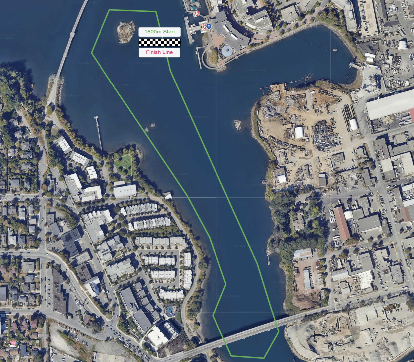
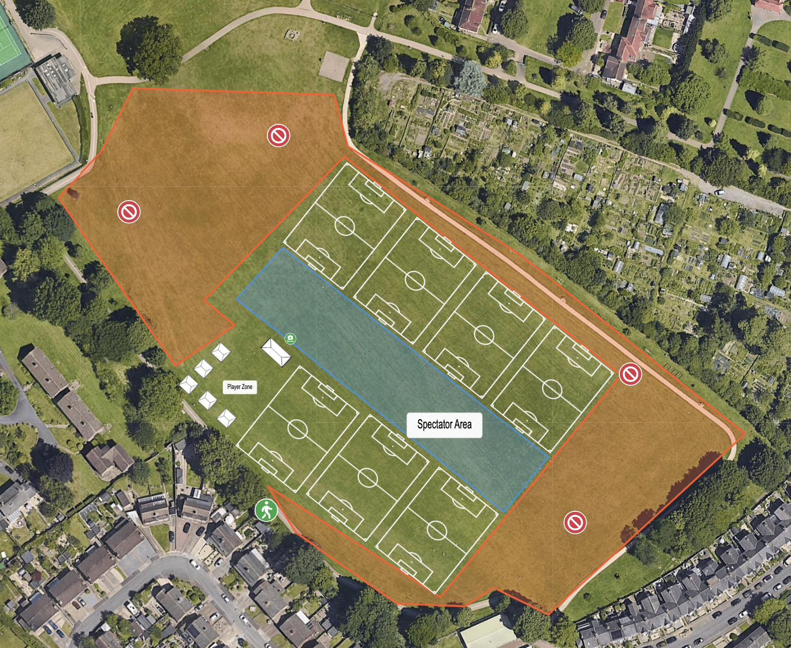
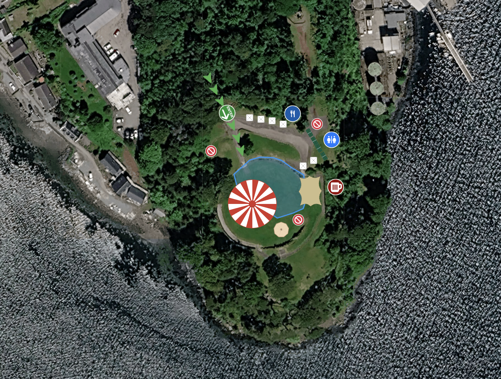
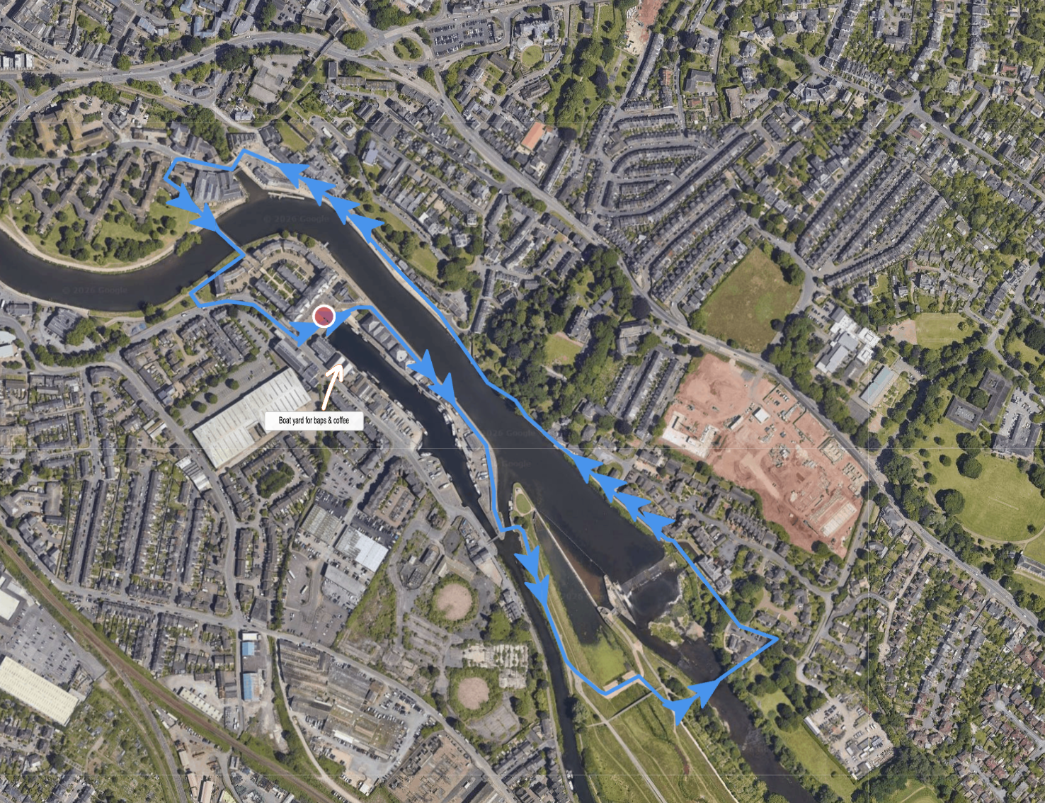
Plot your race route directly onto Google Maps satellite and terrain data, then measure the distance as you draw. Place water stations, medical posts, and mile markers at accurate intervals along the route, rather than guessing spacing from a printed map.
See where the route crosses a junction or a cycle path before it's a problem for marshals on the day.