Uploaded Image

Site mapping tool for local gov & councils

Event organisers send in site plans in every format going, PDFs, hand-drawn sketches, a photo of a whiteboard. Your highways team needs the road closure. Your parks team needs the same map for a different reason. Nobody's looking at the same version.

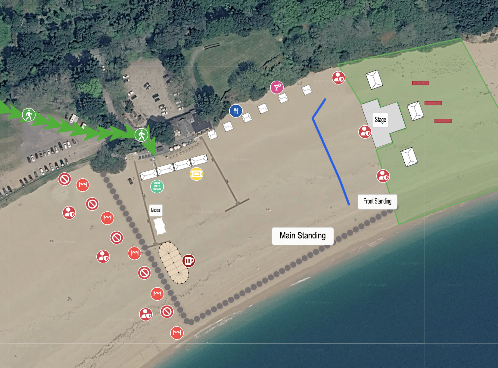
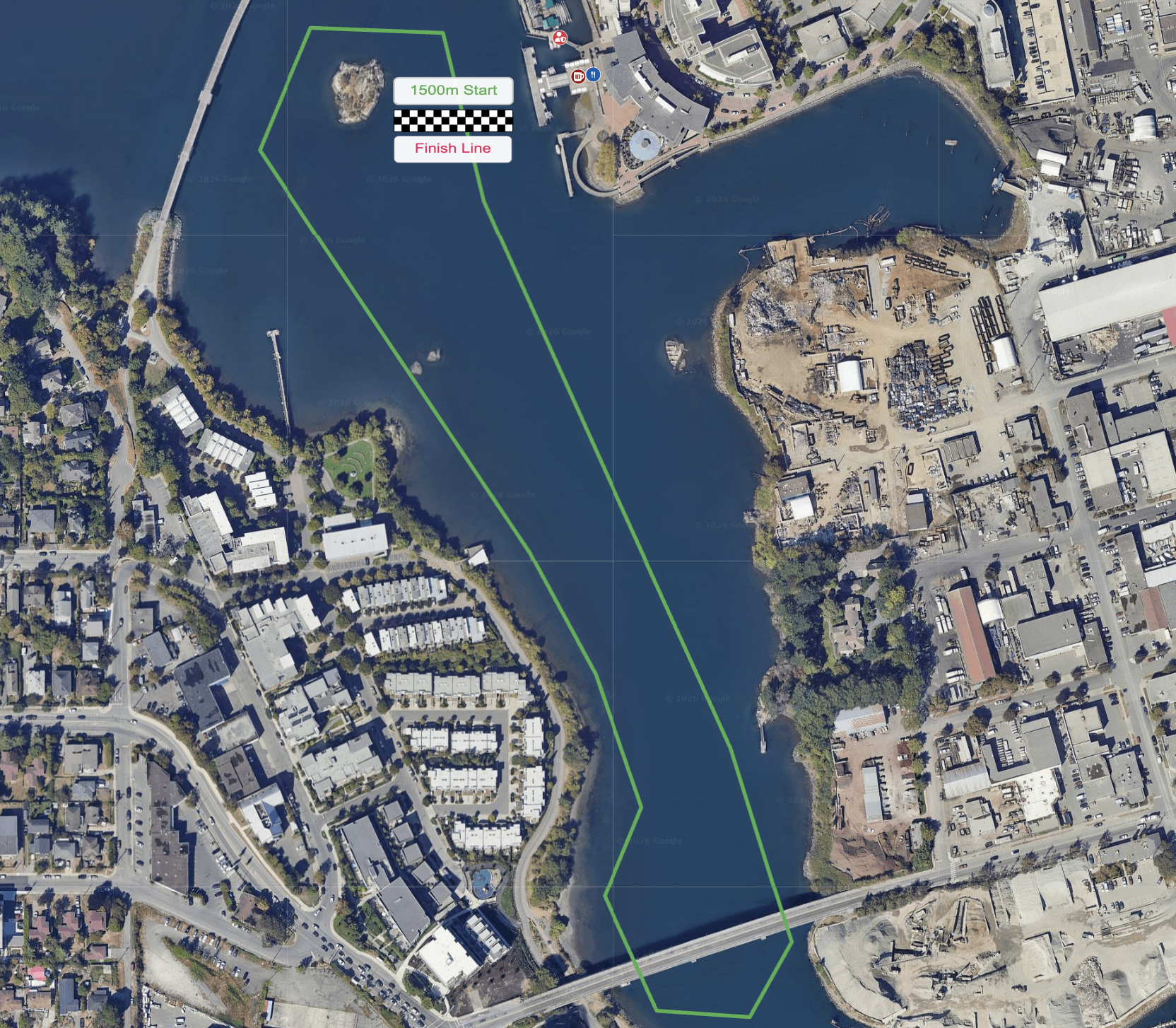
GoodEvent Maps gives your council one shared, measurable site plan for every event on public land, built directly onto Google Maps. Organisers can share their layout the same way every time, and your departments can review it without redrawing it first.

Hero Image

All-in-one Site Mapping Tool.

Built for councils running or reviewing more than one event at a time.

Reviewing and Approving Event Site Plans

One Format, Not a Different Sketch Every Time.

When organisers submit their site plan as a GoodEvent Maps layout instead of a scanned drawing, your safety advisory group reviews the same kind of plan every time, measured against the same real terrain.

See road closures, capacity zones, and access routes as they actually sit on the ground, not as they're described in a covering letter.
Map your next event

Managing Recurring Events on Public Land

Don't Start From Scratch Every Year.

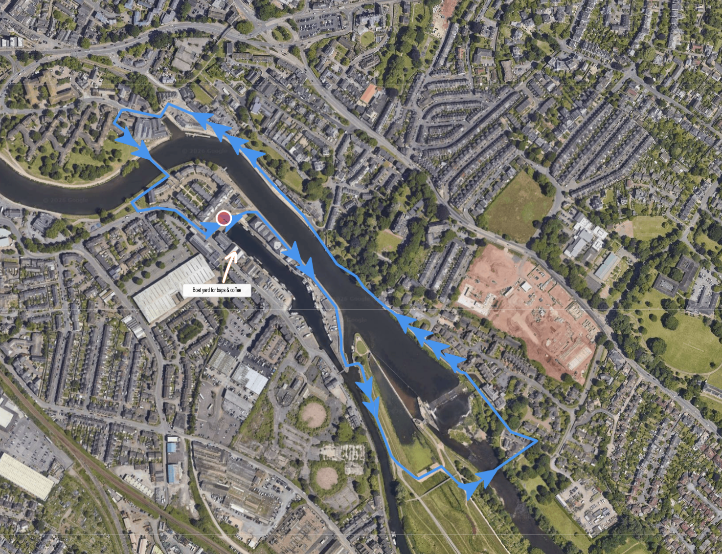
Remembrance Sunday, civic celebrations, and annual markets use roughly the same footprint every year, with small changes.

Keep last year's map as your starting point and update only what's changed, rather than redrawing the whole layout from memory.

Map your next event

Coordinating Multiple Departments

Highways, Parks, and Licensing on the Same Map.

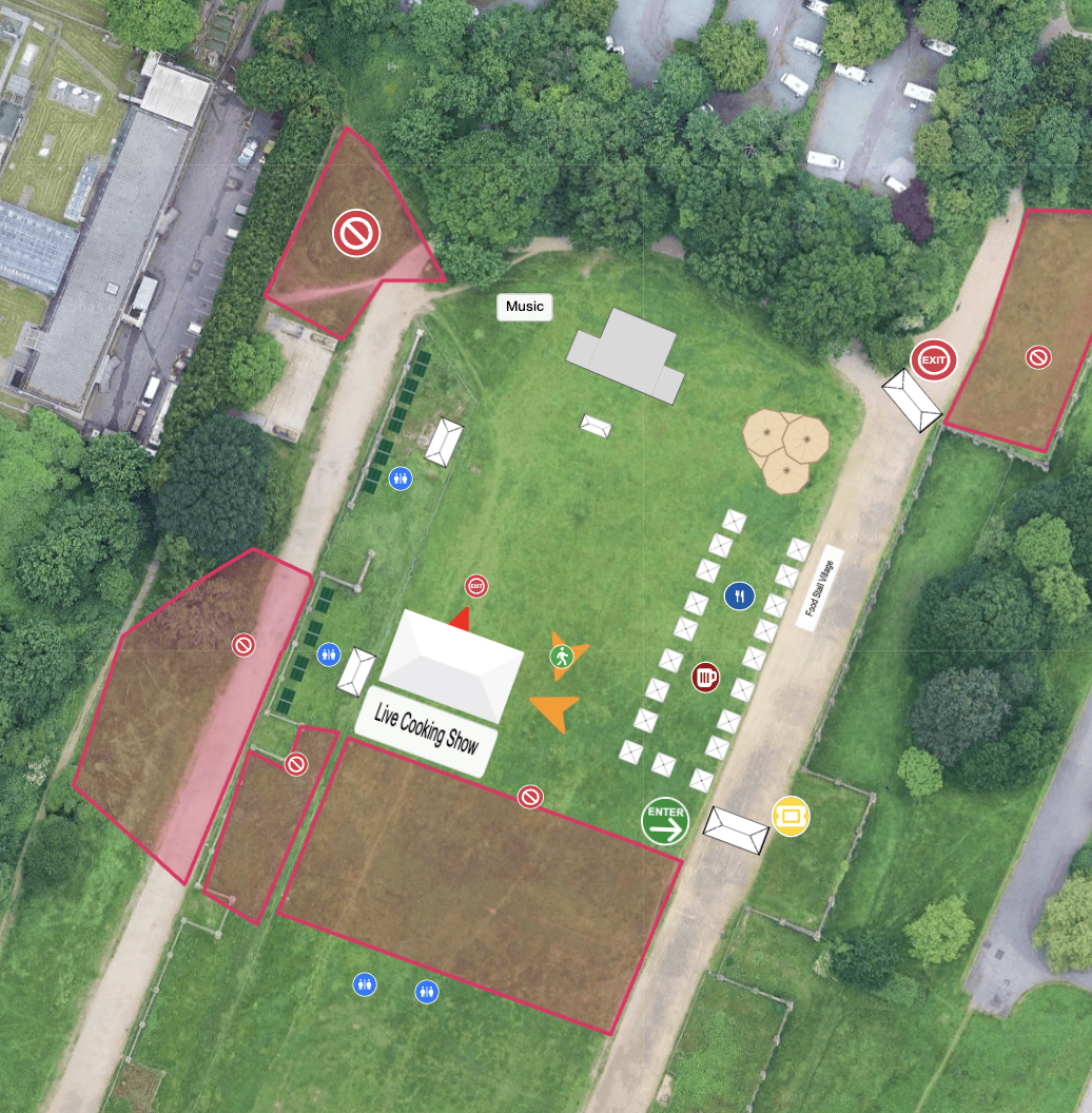
Give your highways team, parks team, and licensing officers view or edit access to the same plan, so a road closure and a park booking for the same weekend show up on one map instead of two separate systems.

Nobody finds out about a clash from a phone call on the day.

Map your next event

One Map for Every Event Across the Borough

See What's Happening, Where, and When.

Keep a live map for every event currently in your pipeline, whether it's a community-run street party or a council-organised civic event.

Give organisers view-only access to their own event, and keep oversight of every plan your team is responsible for.

Map your next event
Google Maps

Google Maps

Instantly find your event location and easily place your equipment on the actual terrain.

Accurate Measuring

Accurate Measuring

Snap, measure, and align items down to the metre/ft.

100s of Assets

100s of Assets

Use ready-made icons for bars, chairs, marquees, trees—you name it.

Printable Maps

Printable Maps

Download branded PDFs for crew folders or clipboards.

 Any Event

Any Event

Music, sport, shows, or weddings. One tool, unlimited maps, any occasion.

Live Team Edits

Live Team Edits

Everyone works on the same map—no sending versions back and forth.

Permission Settings

Permission Settings

Enable real-time collaboration for your team and share controlled, view-only access with customers and vendors.

Interactive Links

Interactive Links

Share your event map digitally — let customers and vendors explore, comment, and interact, while you track every view and engagement.